ConnectGalaxy Logo
    • Recherche Avancée
  • Client
    • S'identifier
    • Enregistrez
    • Mode nuit
Infycons Creative Software Cover Image
User Image
Faites glisser pour repositionner la couverture
Infycons Creative Software Profile Picture
Infycons Creative Software

@InfyconsCreativeSoftware

  • Chronologie
  • Groupes
  • Aime
  • Friends
  • Photos
  • Les vidéos
  • Bobines
Infycons Creative Software profile picture Infycons Creative Software profile picture
Infycons Creative Software
11 w

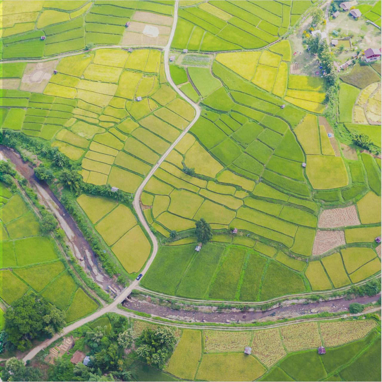
Civil Engineering Software
Infycons empowers the infrastructure and land development sectors with advanced software solutions. From land surveying and design to estimation and GIS mapping, comprehensive suite of Civil Engineering software products, like AutoPlotter and Road Estimator, simplifies workflows, improves accuracy, and boosts efficiency for professionals across various disciplines. With a dedication to affordability and user-friendliness, Infycons helps clients optimize project costs, make informed decisions, and ultimately achieve success in their endeavors.
https://infycons.com/

image
Aimer
Commentaire
Partagez
Infycons Creative Software profile picture Infycons Creative Software profile picture
Infycons Creative Software
14 w

Topographic Survey Software
AutoPlotter Advanced delivers an affordable solution for everyday land surveying needs. Built on the powerful DTM engine of its Pro counterpart, it seamlessly processes data from total stations, GPS, or similar instruments. Generate professional topographic and contour maps, perform traverse adjustments, and coordinate conversion. Its built-in CAD tools let you create complete drawings, while features like instant map creation and 3D terrain views accelerate your workflow. Easy to learn and use, AutoPlotter Advanced is ideal for surveyors seeking productivity and affordability.
https://infycons.com/autoplotter/advanced/

AutoPlotter® Advanced - Land Surveyors First Choice | Land surveying software | Infycons
infycons.com

AutoPlotter® Advanced - Land Surveyors First Choice | Land surveying software | Infycons

Infycons offers widely used land survey software that supports total station & other instrument data to generate contour, topographic map, grid data, etc. Contact us now for seamless Surveying Solutions.
Aimer
Commentaire
Partagez
Infycons Creative Software profile picture Infycons Creative Software profile picture
Infycons Creative Software
17 w

https://infycons.com/land-information-system/

FMB Drawing Software - AutoPlotter with LIS
infycons.com

FMB Drawing Software - AutoPlotter with LIS

Easily create tippan maps using our FMB drawing software. AutoPlotter LIS module simplifies the overall process with enhanced features.
Aimer
Commentaire
Partagez
Infycons Creative Software profile picture Infycons Creative Software profile picture
Infycons Creative Software
20 w

https://infycons.com/autoplotter-gis/

AutoPlotter GIS - Integrated tools for CAD and GIS mapping
infycons.com

AutoPlotter GIS - Integrated tools for CAD and GIS mapping

Automatic parcel creation from survey data, attribute definition, database query, georeferencing, base map support for GIS mapping
Aimer
Commentaire
Partagez
Infycons Creative Software profile picture Infycons Creative Software profile picture
Infycons Creative Software
27 w

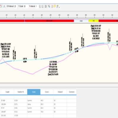
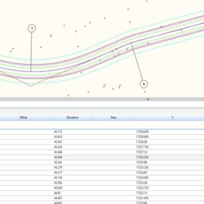
Road Design Software
AutoRoads streamlines highway design by seamlessly integrating geometric design tools with surveying and earthwork calculations. Import survey data to design horizontal and vertical alignments, optimize curves, and perform earthwork operations. Generate cross-sections and quantity takeoffs for precise cost estimation. Leverage integrated land surveying tools for comprehensive site analysis. AutoRoads, the complete road design software eliminates the need for multiple software packages, improving design accuracy, efficiency, and cost-effectiveness for your highway projects.
https://infycons.com/autoroads/

AutoRoads® - User-friendly Road Design Software

Road design software catering to the alignment design requirements of highway engineers for all types of road projects.
image
image
image
Aimer
Commentaire
Partagez
 Chargez plus de postes
    Info
    • Mâle
    • des postes 24
  • 23-02-98
  • Vivre dans India
    Albums 
    (0)
    Friends 
    (0)
    Aime 
    (1)
    Groupes 
    (0)

© 2025 ConnectGalaxy

Langue

  • Sur
  • Annuaire
  • Blog
  • Contactez nous
  • Développeurs
  • Plus
    • politique de confidentialité
    • Conditions d'utilisation
    • Demande à être remboursé
    • Data Deletion Policy
    • Cookie Policy

Désamie

Êtes-vous sûr de vouloir vous libérer?

Signaler cet utilisateur

Important!

Êtes-vous sûr de vouloir supprimer ce membre de votre famille?

Vous avez fourré InfyconsCreativeSoftware

Un nouveau membre a été ajouté avec succès à votre liste de famille!

Recadrez votre avatar

avatar

© 2025 ConnectGalaxy

  • Domicile
  • Sur
  • Contactez nous
  • politique de confidentialité
  • Conditions d'utilisation
  • Demande à être remboursé
  • Blog
  • Développeurs
  • Plus
    • Data Deletion Policy
    • Cookie Policy
  • Langue

© 2025 ConnectGalaxy

  • Domicile
  • Sur
  • Contactez nous
  • politique de confidentialité
  • Conditions d'utilisation
  • Demande à être remboursé
  • Blog
  • Développeurs
  • Plus
    • Data Deletion Policy
    • Cookie Policy
  • Langue

Commentaire signalé avec succès.

Le message a été ajouté avec succès à votre calendrier!

Vous avez atteint la limite de vos amis 5000!

Erreur de taille de fichier: le fichier dépasse autorisé la limite ({image_fichier}) et ne peut pas être téléchargé.

Votre vidéo est en cours de traitement, nous vous ferons savoir quand il est prêt à voir.

Impossible de télécharger un fichier : ce type de fichier n'est pas pris en charge.

Nous avons détecté du contenu réservé aux adultes sur l'image que vous avez téléchargée. Par conséquent, nous avons refusé votre processus de téléchargement.

Partager un post sur un groupe

Partager sur une page

Partager avec l'utilisateur

Votre message a été envoyé, nous examinerons bientôt votre contenu.

Pour télécharger des images, des vidéos et des fichiers audio, vous devez passer à un membre pro. Passer à Pro

Modifier loffre

0%

Ajouter un niveau


Sélectionnez une image
Supprimer votre niveau
Êtes-vous sûr de vouloir supprimer ce niveau?

Avis

Afin de vendre votre contenu et vos publications, commencez par créer quelques packages. Monétisation

Payer par portefeuille

Ajouter un paquet

Supprimer votre adresse

Êtes-vous sûr de vouloir supprimer cette adresse?

Supprimez votre package de monétisation

Êtes-vous sûr de vouloir supprimer ce package ?

Se désabonner

Etes-vous sûr de vouloir vous désabonner de cet utilisateur ? Gardez à l’esprit que vous ne pourrez voir aucun de leur contenu monétisé.

Alerte de paiement

Vous êtes sur le point d'acheter les articles, voulez-vous continuer?
Demande à être remboursé

Langue

  • Arabic
  • Bengali
  • Chinese
  • Croatian
  • Danish
  • Dutch
  • English
  • Filipino
  • French
  • German
  • Hebrew
  • Hindi
  • Indonesian
  • Italian
  • Japanese
  • Korean
  • Persian
  • Portuguese
  • Russian
  • Spanish
  • Swedish
  • Turkish
  • Urdu
  • Vietnamese