ConnectGalaxy Logo
    • Masusing Paghahanap
  • Bisita
    • Mag log in
    • Magrehistro
    • Day mode
Infycons Creative Software Cover Image
User Image
Hilahin para mailagay sa tamang posisyon ang cover
Infycons Creative Software Profile Picture
Infycons Creative Software

@InfyconsCreativeSoftware

  • Timeline
  • Mga grupo
  • Mga gusto
  • Mga kaibigan
  • Mga larawan
  • Mga video
  • Mga reel
Infycons Creative Software profile picture Infycons Creative Software profile picture
Infycons Creative Software
35 sa

Civil Engineering Software
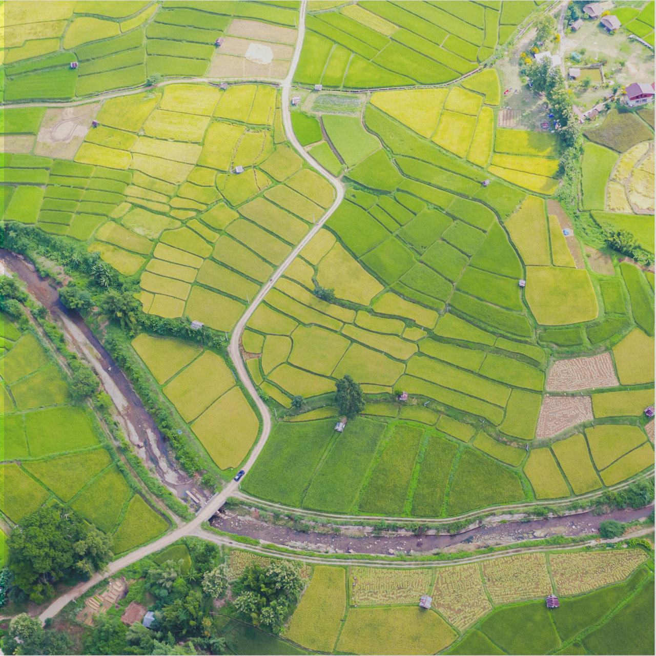
Infycons empowers the infrastructure and land development sectors with advanced software solutions. From land surveying and design to estimation and GIS mapping, comprehensive suite of Civil Engineering software products, like AutoPlotter and Road Estimator, simplifies workflows, improves accuracy, and boosts efficiency for professionals across various disciplines. With a dedication to affordability and user-friendliness, Infycons helps clients optimize project costs, make informed decisions, and ultimately achieve success in their endeavors.
https://infycons.com/

image
Gusto
Magkomento
Ibahagi
Infycons Creative Software profile picture Infycons Creative Software profile picture
Infycons Creative Software
38 sa

Topographic Survey Software
AutoPlotter Advanced delivers an affordable solution for everyday land surveying needs. Built on the powerful DTM engine of its Pro counterpart, it seamlessly processes data from total stations, GPS, or similar instruments. Generate professional topographic and contour maps, perform traverse adjustments, and coordinate conversion. Its built-in CAD tools let you create complete drawings, while features like instant map creation and 3D terrain views accelerate your workflow. Easy to learn and use, AutoPlotter Advanced is ideal for surveyors seeking productivity and affordability.
https://infycons.com/autoplotter/advanced/

AutoPlotter® Advanced - Land Surveyors First Choice | Land surveying software | Infycons
infycons.com

AutoPlotter® Advanced - Land Surveyors First Choice | Land surveying software | Infycons

Infycons offers widely used land survey software that supports total station & other instrument data to generate contour, topographic map, grid data, etc. Contact us now for seamless Surveying Solutions.
Gusto
Magkomento
Ibahagi
Infycons Creative Software profile picture Infycons Creative Software profile picture
Infycons Creative Software
41 sa

https://infycons.com/land-information-system/

FMB Drawing Software - AutoPlotter with LIS
infycons.com

FMB Drawing Software - AutoPlotter with LIS

Easily create tippan maps using our FMB drawing software. AutoPlotter LIS module simplifies the overall process with enhanced features.
Gusto
Magkomento
Ibahagi
Infycons Creative Software profile picture Infycons Creative Software profile picture
Infycons Creative Software
44 sa

https://infycons.com/autoplotter-gis/

AutoPlotter GIS - Integrated tools for CAD and GIS mapping
infycons.com

AutoPlotter GIS - Integrated tools for CAD and GIS mapping

Automatic parcel creation from survey data, attribute definition, database query, georeferencing, base map support for GIS mapping
Gusto
Magkomento
Ibahagi
Infycons Creative Software profile picture Infycons Creative Software profile picture
Infycons Creative Software
50 sa

Road Design Software
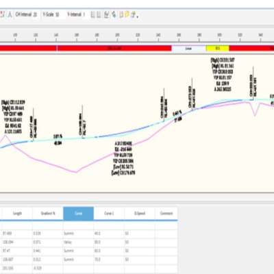
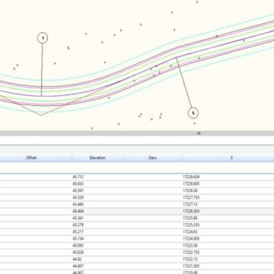
AutoRoads streamlines highway design by seamlessly integrating geometric design tools with surveying and earthwork calculations. Import survey data to design horizontal and vertical alignments, optimize curves, and perform earthwork operations. Generate cross-sections and quantity takeoffs for precise cost estimation. Leverage integrated land surveying tools for comprehensive site analysis. AutoRoads, the complete road design software eliminates the need for multiple software packages, improving design accuracy, efficiency, and cost-effectiveness for your highway projects.
https://infycons.com/autoroads/

AutoRoads® - User-friendly Road Design Software

Road design software catering to the alignment design requirements of highway engineers for all types of road projects.
image
image
image
Gusto
Magkomento
Ibahagi
 Mag-load ng higit pang mga post
    Impormasyon
    • Lalaki
    • mga post 24
  • 23-02-98
  • Nakatira sa India
    Mga album 
    (0)
    Mga kaibigan 
    (0)
    Mga gusto 
    (1)
    Mga grupo 
    (0)

© 2025 ConnectGalaxy

Wika

  • Tungkol sa
  • Direktoryo
  • Blog
  • Makipag-ugnayan sa amin
  • Mga developer
  • Higit pa
    • Patakaran sa Privacy
    • Mga Tuntunin ng Paggamit
    • Humiling ng Refund
    • Guest Post
    • Data Deletion Policy
    • Cookie Policy

Unfriend

Sigurado ka bang gusto mong i-unfriend?

Iulat ang User na ito

Mahalaga!

Sigurado ka bang gusto mong alisin ang miyembrong ito sa iyong pamilya?

Sinundot mo InfyconsCreativeSoftware

Ang bagong miyembro ay matagumpay na naidagdag sa iyong listahan ng pamilya!

I-crop ang iyong avatar

avatar

© 2025 ConnectGalaxy

  • Bahay
  • Tungkol sa
  • Makipag-ugnayan sa amin
  • Patakaran sa Privacy
  • Mga Tuntunin ng Paggamit
  • Humiling ng Refund
  • Blog
  • Mga developer
  • Higit pa
    • Guest Post
    • Data Deletion Policy
    • Cookie Policy
  • Wika

© 2025 ConnectGalaxy

  • Bahay
  • Tungkol sa
  • Makipag-ugnayan sa amin
  • Patakaran sa Privacy
  • Mga Tuntunin ng Paggamit
  • Humiling ng Refund
  • Blog
  • Mga developer
  • Higit pa
    • Guest Post
    • Data Deletion Policy
    • Cookie Policy
  • Wika

Matagumpay na naiulat ang komento.

Matagumpay na naidagdag ang post sa iyong timeline!

Naabot mo na ang iyong limitasyon na 5000 mga kaibigan!

Error sa laki ng file: Ang file ay lumampas sa pinapayagang limitasyon (92 MB) at hindi maaaring i-upload.

Pinoproseso ang iyong video, Ipapaalam namin sa iyo kapag handa na itong mapanood.

Hindi makapag-upload ng file: Ang uri ng file na ito ay hindi suportado.

Nakakita kami ng ilang nilalamang pang-adulto sa larawang na-upload mo, kaya tinanggihan namin ang iyong proseso ng pag-upload.

Ibahagi ang post sa isang grupo

Ibahagi sa isang page

Ibahagi sa user

Naisumite ang iyong post, susuriin namin ang iyong nilalaman sa lalong madaling panahon.

Para mag-upload ng mga larawan, video, at audio file, kailangan mong mag-upgrade sa pro member. Mag-upgrade sa Pro

I-edit ang Alok

0%

Magdagdag ng tier


Pumili ng larawan
Tanggalin ang iyong tier
Sigurado ka bang gusto mong tanggalin ang tier na ito?

Mga pagsusuri

Upang maibenta ang iyong nilalaman at mga post, magsimula sa pamamagitan ng paglikha ng ilang mga pakete. Monetization

Magbayad sa pamamagitan ng Wallet

Magdagdag ng Package

Tanggalin ang iyong address

Sigurado ka bang gusto mong tanggalin ang address na ito?

Alisin ang iyong monetization package

Sigurado ka bang gusto mong tanggalin ang package na ito?

Mag-unsubscribe

Sigurado ka bang gusto mong mag-unsubscribe sa user na ito? Tandaan na hindi mo matitingnan ang anuman sa kanilang pinagkakakitaang nilalaman.

Alerto sa Pagbabayad

Bibili ka na ng mga item, gusto mo bang magpatuloy?
Humiling ng Refund

Wika

  • Arabic
  • Bengali
  • Chinese
  • Croatian
  • Danish
  • Dutch
  • English
  • Filipino
  • French
  • German
  • Hebrew
  • Hindi
  • Indonesian
  • Italian
  • Japanese
  • Korean
  • Persian
  • Portuguese
  • Russian
  • Spanish
  • Swedish
  • Turkish
  • Urdu
  • Vietnamese