ConnectGalaxy Logo
    • Advanced Search
  • Guest
    • Login
    • Register
    • Day mode
Asteria Aerospace Limited Cover Image
User Image
Drag to reposition cover
Asteria Aerospace Limited Profile Picture
Asteria Aerospace Limited

@706703114

  • Timeline
  • Groups
  • Likes
  • Friends
  • Photos
  • Videos
  • Reels
Asteria Aerospace Limited profile picture Asteria Aerospace Limited profile picture
Asteria Aerospace Limited
24 w

The Future of Volumetric Measurements: Innovations in Drone Technology


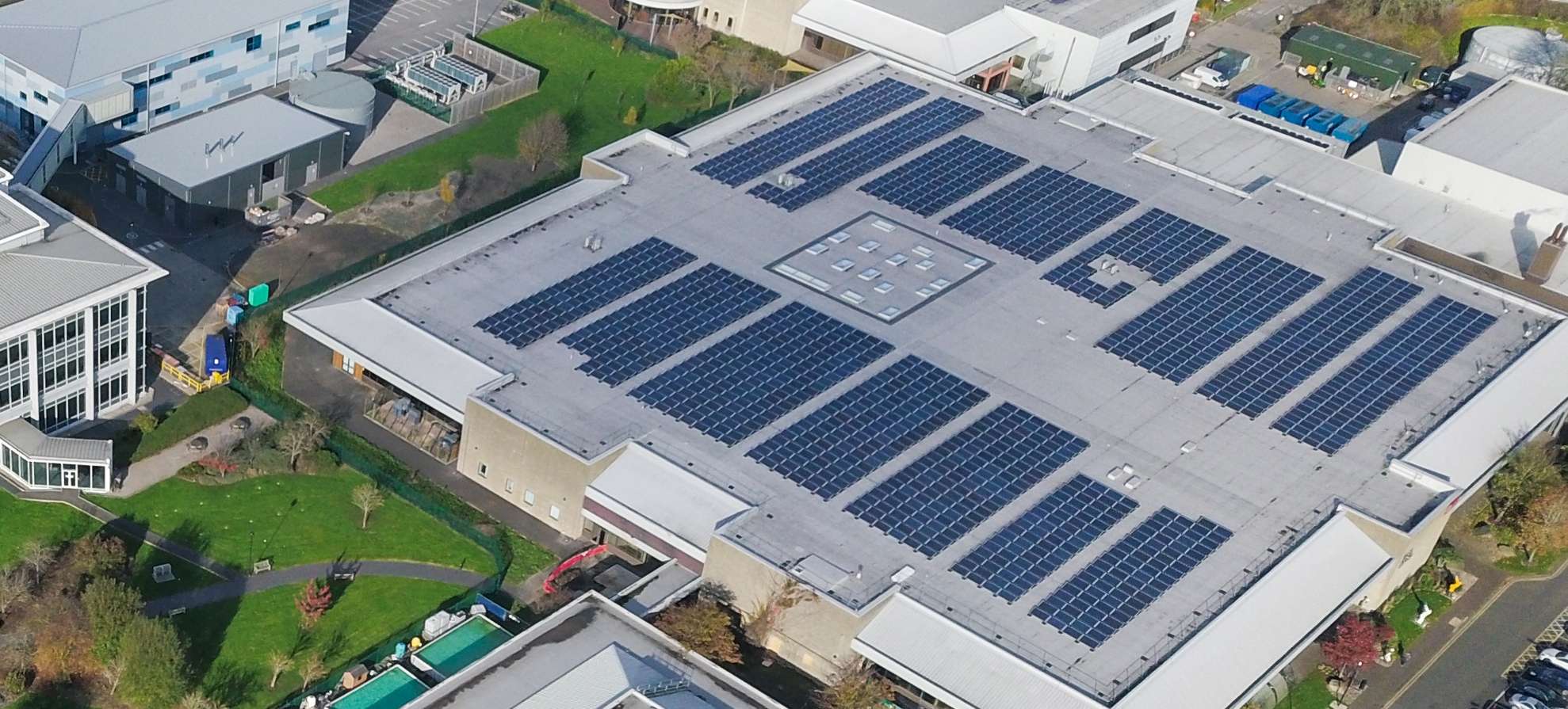
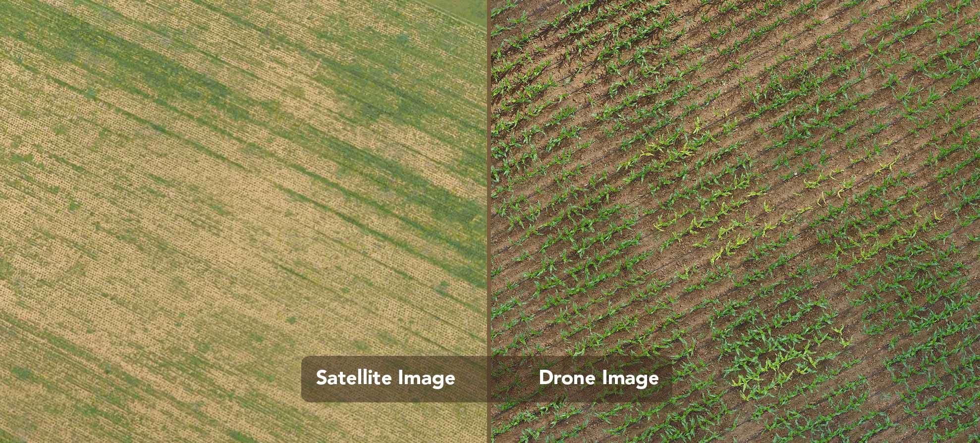
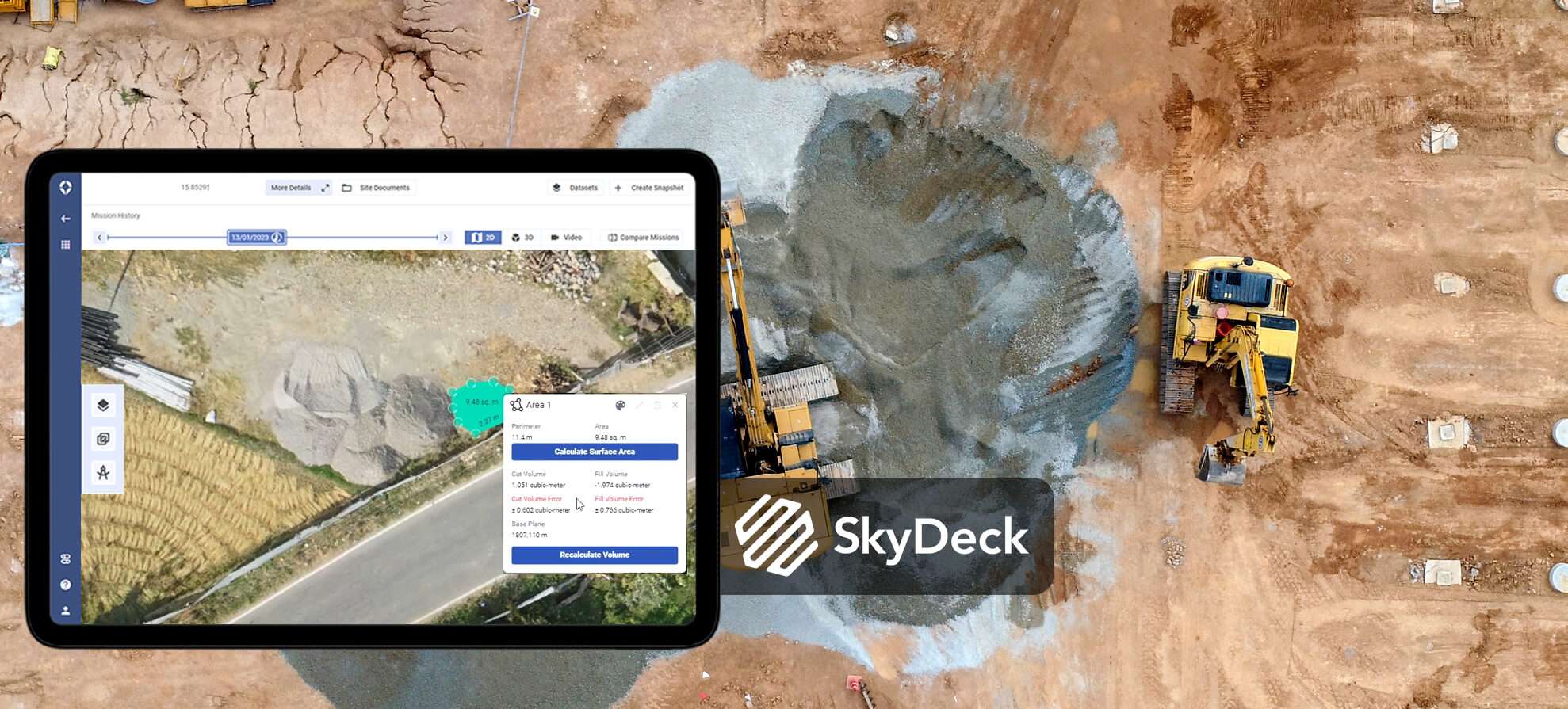
Drone technology is transforming the way we measure volumes, particularly in industries like construction, mining, agriculture, and surveying. Traditionally, volumetric measurements required labor-intensive methods such as manual ground surveys or aerial mapping using manned aircraft. However, the introduction of drone volume measurement software and drones with built-in measurement capabilities has transformed this process, making it faster, safer, and more accurate.

Read more:- https://www.asteria.co.in/blog..../drone-technology-in

image
Like
Comment
Share
Asteria Aerospace Limited profile picture Asteria Aerospace Limited profile picture
Asteria Aerospace Limited
24 w

A Complete Guide to Drone Roof Inspections


Roof inspections are crucial for ensuring the structural integrity of buildings, but traditional methods are often time-consuming, costly, and involve significant safety risks. Fortunately, advances in drone technology have revolutionized the process, offering a faster, safer, and more cost-effective solution. This guide will explore everything you need to know about drone roof inspections, from how they work to the drone hardware and software you’ll need.

Read more:- https://www.asteria.co.in/blog..../drone-roof-inspecti

image
Like
Comment
Share
Asteria Aerospace Limited profile picture Asteria Aerospace Limited profile picture
Asteria Aerospace Limited
24 w

Comparing Satellite and Drone Imagery in Vegetation Mapping

When it comes to geospatial analysis, vegetation mapping plays a pivotal role in understanding and managing ecosystems. From monitoring forest health and optimizing agricultural yields to fast-tracking industrial inspection, precise mapping of vegetation is critical for industries ranging from agriculture to urban development and beyond.

Read more:- https://www.asteria.co.in/blog..../satellite-vs-drone-

image
Like
Comment
Share
Asteria Aerospace Limited profile picture Asteria Aerospace Limited profile picture
Asteria Aerospace Limited
32 w

GIS trends 2024 – What does the future hold for drone-GIS combination?

As technology continues to advance, the synergy between Geographic Information Systems (GIS) and drone technology is poised to shape the future landscape of various industries. Here's a detailed insight into the GIS trends 2024 and their profound implications for the drone sector.

Read more: https://www.asteria.co.in/blog..../gis-trends-2024-for

image
Like
Comment
Share
Asteria Aerospace Limited profile picture Asteria Aerospace Limited profile picture
Asteria Aerospace Limited changed his profile picture
32 w

image
Like
Comment
Share
 Load more posts
    Info
    • Male
    • posts 5
    Albums 
    (0)
    Friends 
    (0)
    Likes 
    (1)
    Groups 
    (0)

© 2025 ConnectGalaxy

Language

  • About
  • Directory
  • Blog
  • Contact Us
  • Developers
  • More
    • Privacy Policy
    • Terms of Use
    • Request a Refund
    • Data Deletion Policy
    • Cookie Policy

Unfriend

Are you sure you want to unfriend?

Report this User

Important!

Are you sure that you want to remove this member from your family?

You have poked 706703114

New member was successfully added to your family list!

Crop your avatar

avatar

© 2025 ConnectGalaxy

  • Home
  • About
  • Contact Us
  • Privacy Policy
  • Terms of Use
  • Request a Refund
  • Blog
  • Developers
  • More
    • Data Deletion Policy
    • Cookie Policy
  • Language

© 2025 ConnectGalaxy

  • Home
  • About
  • Contact Us
  • Privacy Policy
  • Terms of Use
  • Request a Refund
  • Blog
  • Developers
  • More
    • Data Deletion Policy
    • Cookie Policy
  • Language

Comment reported successfully.

Post was successfully added to your timeline!

You have reached your limit of 5000 friends!

File size error: The file exceeds allowed the limit (92 MB) and can not be uploaded.

Your video is being processed, We’ll let you know when it's ready to view.

Unable to upload a file: This file type is not supported.

We have detected some adult content on the image you uploaded, therefore we have declined your upload process.

Share post on a group

Share to a page

Share to user

Your post was submitted, we will review your content soon.

To upload images, videos, and audio files, you have to upgrade to pro member. Upgrade To Pro

Edit Offer

0%

Add tier


Select an image
Delete your tier
Are you sure you want to delete this tier?

Reviews

In order to sell your content and posts, start by creating a few packages. Monetization

Pay By Wallet

Add Package

Delete your address

Are you sure you want to delete this address?

Remove your monetization package

Are you sure you want to delete this package?

Unsubscribe

Are you sure you want to unsubscribe from this user? Keep in mind that you won't be able to view any of their monetized content.

Payment Alert

You are about to purchase the items, do you want to proceed?
Request a Refund

Language

  • Arabic
  • Bengali
  • Chinese
  • Croatian
  • Danish
  • Dutch
  • English
  • Filipino
  • French
  • German
  • Hebrew
  • Hindi
  • Indonesian
  • Italian
  • Japanese
  • Korean
  • Persian
  • Portuguese
  • Russian
  • Spanish
  • Swedish
  • Turkish
  • Urdu
  • Vietnamese